Landmarks - The Main Trunk Line
Television (Full Length) – 1981
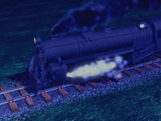
New Zealand history has few big moments, but the crowds who came to this remote spot in special trains from Auckland and Wellington to watch Sir Joseph [Ward], surely witnessed one of them.– Kenneth Cumberland, on the 6 November 1908 driving of a silver spike to open the main trunk line, at Manganuioteao
Ken[neth Cumberland] had the geographer’s gift of being able to draw perfect maps freehand. The sequence where he draws a map of New Zealand on the sand, shows how Māori couriers ran south along the coast from the mouth of the Whanganui River, places a shell on his map to show where he is now, and we cut wide to reveal Kapiti Island off the coast (the Māori jumping-off point for the South Island), is still one of my favourites.– Series producer George Andrews
More than any other juncture the capital shows how vulnerable New Zealand’s main trunk line still is when nature runs out of control.– Kenneth Cumberland at Wellington Airport
